
Flood Insurance Rates Based on Accurate Data
FEMA Elevation Certificates in the Quad Cities and surrounding areas for floodplain properties requiring certified elevation documentation
Properties located in Special Flood Hazard Areas along the Mississippi River corridor pay flood insurance premiums calculated from their elevation relative to the Base Flood Elevation, and those rates depend entirely on data certified by a licensed surveyor. Abbitt Survey & Development, PLLC determines the precise elevation of your home's lowest floor, foundation, and mechanical equipment, then certifies that data on FEMA Elevation Certificates required by mortgage lenders and insurance providers. Properties in 100-year flood zones cannot close on mortgages or establish accurate insurance pricing without these certificates, and homeowners often discover they are paying for coverage based on estimated elevations that do not reflect their actual flood risk.
Licensed surveyors measure ground elevation, the height of your home's lowest floor above sea level, and the location of mechanical systems such as furnaces and water heaters that affect coverage requirements. FEMA uses this certified data to determine whether your property qualifies for lower insurance rates, requires additional coverage, or sits high enough to avoid mandatory flood insurance. In floodplain areas, elevation differences of even one foot can change annual premiums by hundreds of dollars.
Schedule a site visit to measure your property elevation and complete FEMA certification for insurance qualification.
What You Notice Once Elevation Certification Is Finished
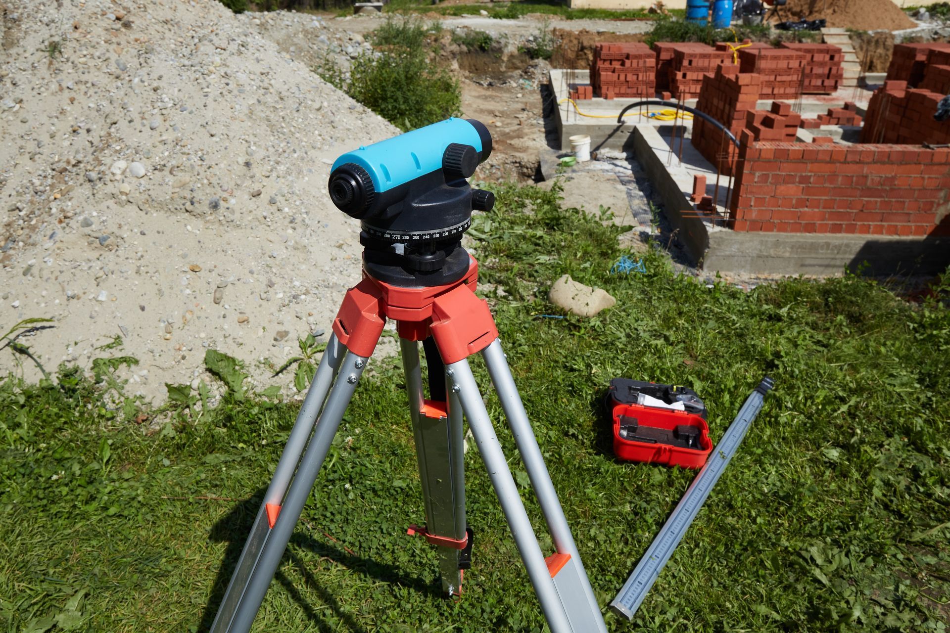
Surveyors use GPS receivers and leveling instruments to measure the elevation of your home's lowest floor, crawl space, or basement floor, along with the height of attached garages and mechanical equipment. They record the property's location within the flood zone, the distance to the nearest watercourse, and any fill or grading that affects flood risk. This field data is certified and submitted on the FEMA Elevation Certificate form, which insurance providers and lenders use to calculate premiums and coverage requirements.
Once the certificate is issued, your insurance provider recalculates premiums based on certified elevation data rather than estimated flood risk, often resulting in lower rates for homes built above the Base Flood Elevation. Mortgage lenders receive documentation showing your property's compliance with federal flood insurance requirements, allowing closings to proceed without delays. Properties that previously paid premiums based on estimated elevations now have verified data that reflects actual flood risk.
Elevation certificates document current conditions but do not account for future construction, grading changes, or flood map updates that may affect insurance requirements. Homeowners adding additions, raising foundations, or installing basement equipment may need updated certificates to maintain accurate insurance pricing.
Common Questions About This Service
Elevation certificate questions often focus on how flood insurance rates are calculated and what documentation lenders require for mortgage approval.
Who can help me get a FEMA elevation certificate in East Moline?
Only licensed surveyors can certify elevation data for FEMA compliance, as insurance providers and mortgage lenders will not accept certificates prepared by unlicensed individuals or estimated measurements.
How much does a FEMA elevation certificate cost?
Costs depend on site accessibility, the complexity of measuring multiple floor levels or attached structures, and whether the surveyor must navigate steep terrain or dense vegetation to reach the property.
What is the best way to get an elevation certificate for flood insurance?
The surveyor measures your property in person, records elevation data using calibrated instruments, and certifies the information on the official FEMA form that your insurance provider requires for premium calculation.
When should I get an elevation certificate?
You need one when purchasing property in a Special Flood Hazard Area, refinancing a mortgage on a floodplain home, or disputing insurance premiums that appear to be based on incorrect elevation assumptions.
What happens if my elevation data is incorrect?
Incorrect data results in overpaid premiums for homes above the flood level or inadequate coverage for properties at higher risk, and mortgage lenders may delay closings until certified documentation is provided.
Abbitt Survey & Development, PLLC coordinates with insurance providers and mortgage lenders to provide certified elevation certificates for farm, residential, commercial, and industrial properties across the Mississippi River corridor. Call (309) 755-9003 to discuss your flood insurance documentation requirements.